Maps
The following maps provide interactive visualizations of the campuses of George Mason University and Old Dominion University as they developed over time.

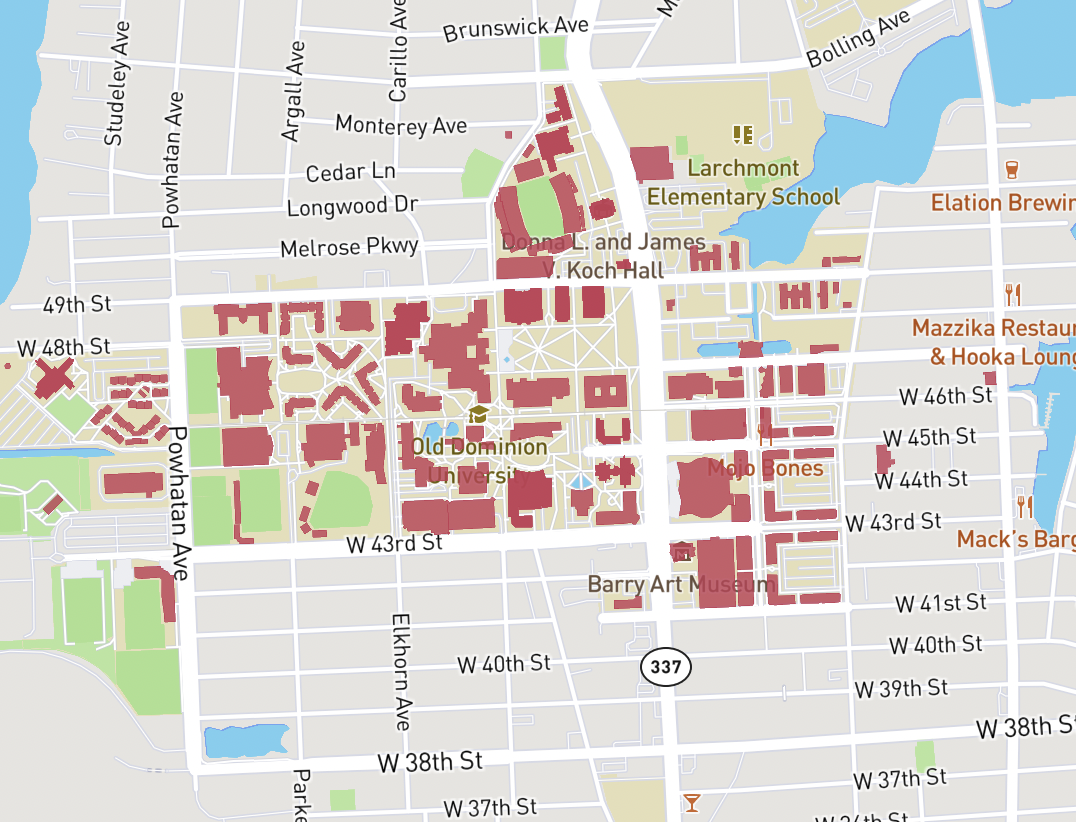
Building Footprints of Old Dominion University
This map displays the footprints of buildings on the Old Dominion University campus from its founding to the present day.

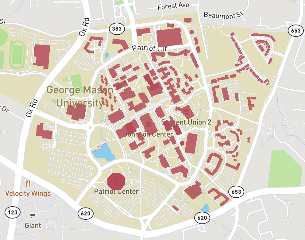
Building Footprints of George Mason University
This map displays the footprints of buildings on the George Mason University campus from its founding to the present day.